The Maules Creek coal mine is an open-cut coal mine located north of the township of Boggabri in, New South Wales. The project extracts coal from the Maules Creek Coal Measures within the Gunnedah Basin. We were engaged when the project was an undeveloped greenfield site to complete a groundwater impact assessment as part of the project’s Environmental Impact Statement.
A key challenge was understanding the connectivity between the Maules Creek Coal Measures and surrounding alluvial aquifer system utilised for irrigation. A further challenge was to quantify the magnitude of cumulative impacts associated with the neighbouring mines (Boggabri and Tarawonga mines) that were targeting the equivalent coal measures.
Client
Hansen Bailey
Project
Maules Creek Coal Mine: groundwater impact assessment
Sector
Mining
Services
Field services, conceptual modelling, numerical modelling
Extensive field investigations
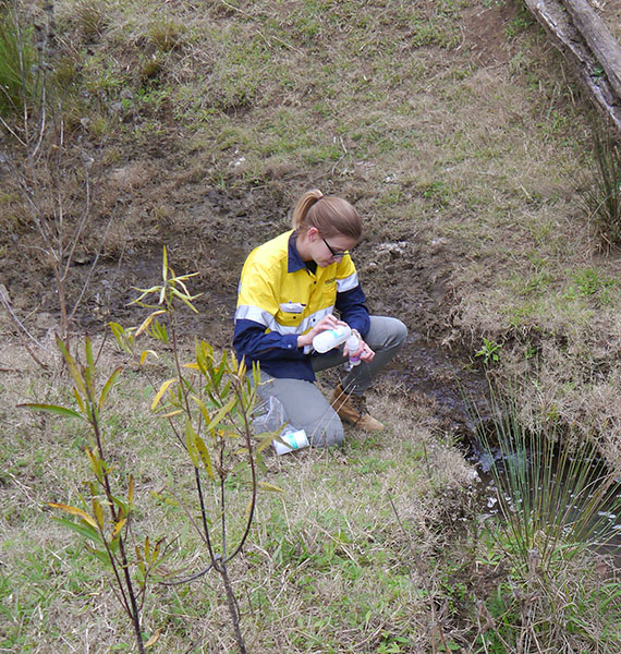
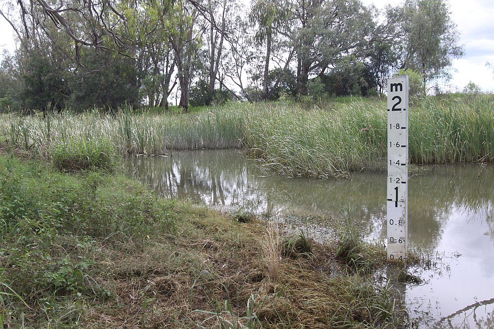
We developed and implemented an extensive field program to characterise the groundwater systems. The field investigation included installing monitoring bores, vibrating wire piezometers and conducting packer testing to characterise the hydrogeological properties of the coal measures including water levels, water quality and permeability.
Using the field investigation data, we developed a conceptual model of the major processes occurring within the hydrogeological regime. We also developed a numerical groundwater model to simulate natural groundwater processes and replicate system stresses, including mining and private groundwater abstraction, to predict potential changes due to the project.
Outcomes we delivered
A key outcome was a data sharing process between the three mines to allow the hydrogeology and potential cumulative impacts to be more accurately predicted.
The outcomes included:
- quantification of groundwater take from the Murray Darling Basin Porous Rock and Namoi Unregulated and alluvial water sources, for licensing purposes
- predicted changes in water levels in the various aquifers, as well as the Namoi River
- assessment of impacts on key receptors, including private landholder bores and groundwater dependent ecosystems
- assisting in the development of the water management plan.
Since submission of the EIS, we have enjoyed an ongoing role supporting the project as it moves from a greenfield to operations. Further work has included updates to numerical models and water management plans.
View all hydrogeological & environmental services
Our team’s expertise is in groundwater modelling, field services, approvals and licensing, water supply, contaminant investigation, expert advisory, and hydrogeochemistry. Learn more about our services by clicking the link below.